File:Vdcantonsmap.png
Jump to navigation
Jump to search

No higher resolution available.
Vdcantonsmap.png (385 × 418 pixels, file size: 49 KB, MIME type: image/png)
Summary
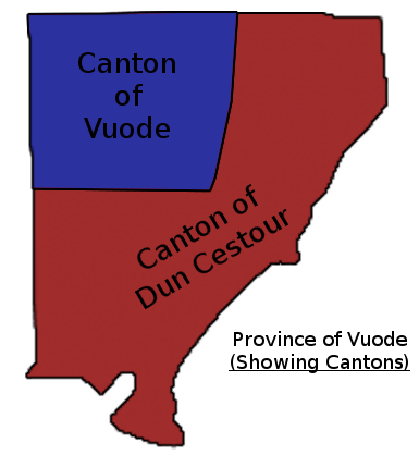
Map of Vuode province showing Canton subdivisions
Licensing
This image is my own work, or I own the copyright. By uploading it, I hereby authorize its limited re-use on TalossaWiki. This authorization may not be rescinded. All other rights are reserved. This image may not be used on any other site, publication, or media.
File history
Click on a date/time to view the file as it appeared at that time.
| Date/Time | Thumbnail | Dimensions | User | Comment | |
|---|---|---|---|---|---|
| current | 18:55, 8 August 2013 | | 385 × 418 (49 KB) | Eovartgrischun (talk | contribs) | Map of Vuode province showing Canton subdivisions |
You cannot overwrite this file.
File usage
The following 2 pages use this file: