File:Be map sextieirs.png
Jump to navigation
Jump to search
Size of this preview: 383 × 599 pixels. Other resolutions: 153 × 240 pixels | 307 × 480 pixels | 641 × 1,002 pixels.
Original file (641 × 1,002 pixels, file size: 116 KB, MIME type: image/png)
Summary
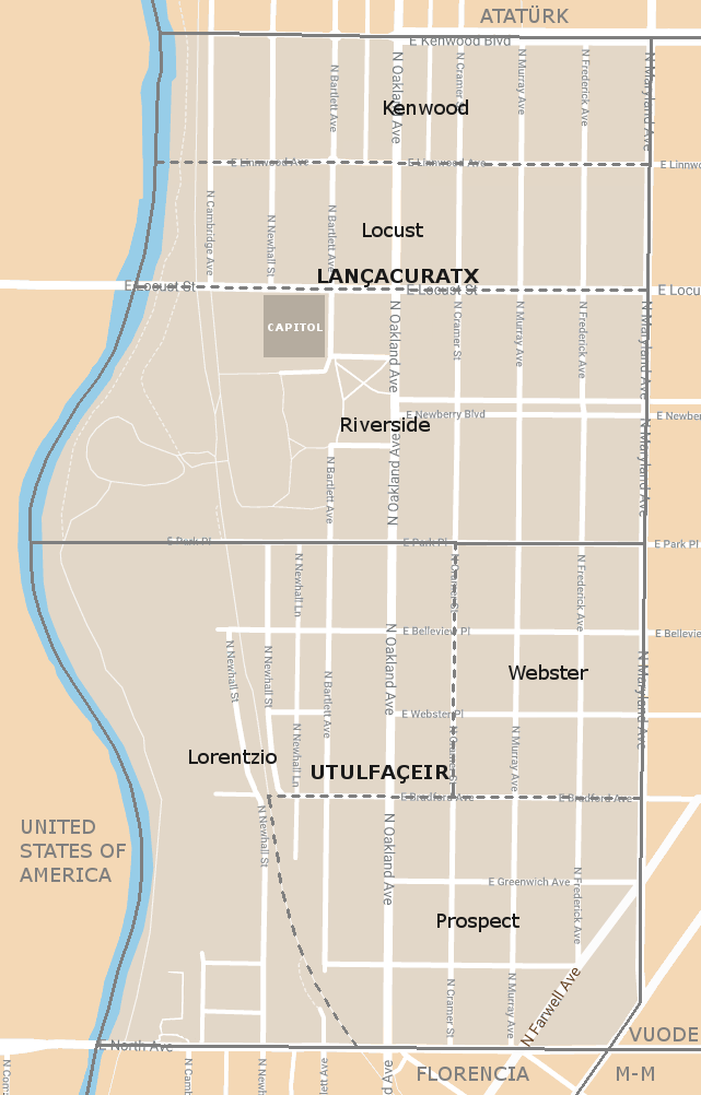
Map of the territory of the province of Benito showing the division in sextieirs (sixths) as enacted by the Subdivisions Act of 2018.
Licensing
File history
Click on a date/time to view the file as it appeared at that time.
| Date/Time | Thumbnail | Dimensions | User | Comment | |
|---|---|---|---|---|---|
| current | 10:46, 19 December 2018 | | 641 × 1,002 (116 KB) | Ldaschir (talk | contribs) | Map of the territory of the province of Benito showing the division in sextieirs (sixths) as enacted by the Subdivisions Act of 2018. |
You cannot overwrite this file.
File usage
The following page uses this file: