File:Canton of vuode parishes map.png
Jump to navigation
Jump to search

Size of this preview: 685 × 599 pixels. Other resolutions: 274 × 240 pixels | 549 × 480 pixels | 878 × 768 pixels | 1,171 × 1,024 pixels | 1,462 × 1,279 pixels.
Original file (1,462 × 1,279 pixels, file size: 616 KB, MIME type: image/png)
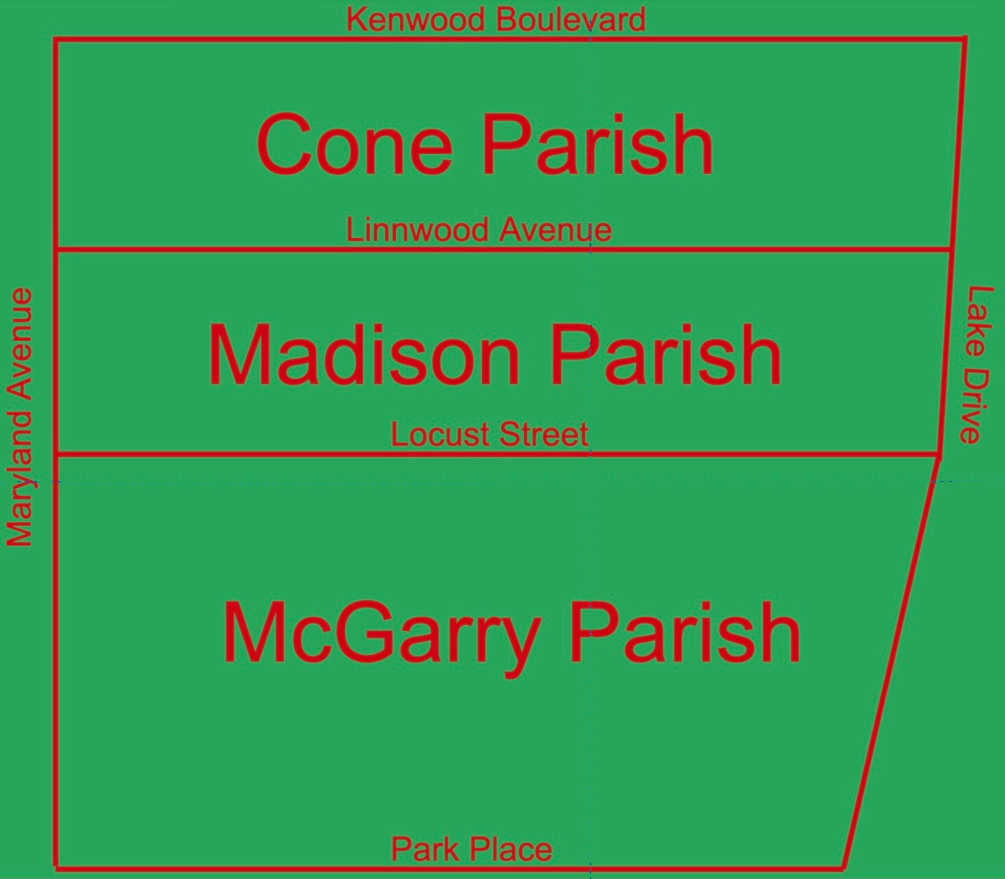
A map of the Canton of Vuode, showing its parishes and their boundaries.
File history
Click on a date/time to view the file as it appeared at that time.
| Date/Time | Thumbnail | Dimensions | User | Comment | |
|---|---|---|---|---|---|
| current | 23:34, 4 October 2023 | | 1,462 × 1,279 (616 KB) | Bentxamì Puntmasleu (talk | contribs) |
You cannot overwrite this file.
File usage
The following page uses this file: