File:Vd map.gif
Jump to navigation
Jump to search

Size of this preview: 479 × 599 pixels. Other resolutions: 192 × 240 pixels | 527 × 659 pixels.
Original file (527 × 659 pixels, file size: 29 KB, MIME type: image/gif)
Summary
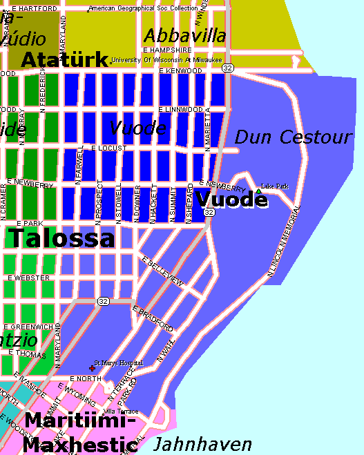
Map of Vuode province showing it's two Cantons, Vuode and Dun Cestour.
Licensing
| This image was created by an official of the Kingdom of Talossa for use of the Kingdom, or the copyright and all associated rights have in some other way been transferred to the Kingdom of Talossa. It is free to be used on TalossaWiki in any way, or altered or modified for use on TalossaWiki in any way.
All rights to this image are reserved to the Kingdom of Talossa, and permission is not given for use on any other site, publication, or other media without written authorization of the Prime Ministry. |
File history
Click on a date/time to view the file as it appeared at that time.
| Date/Time | Thumbnail | Dimensions | User | Comment | |
|---|---|---|---|---|---|
| current | 13:53, 7 July 2012 | | 527 × 659 (29 KB) | Eovartgrischun (talk | contribs) | Map of Vuode province showing it's two Cantons, Vuode and Dun Cestour. |
You cannot overwrite this file.
File usage
There are no pages that use this file.